Distinguish the accumulation location from the water source
A puddle shows where water remained but does not explain why. The cause may lie in pavement geometry, the shoulder, a drain inlet or the next network section. Additional runoff sometimes arrives from a junction or adjacent land. Examination boundaries are therefore defined by the water's path rather than the visible wet area alone.
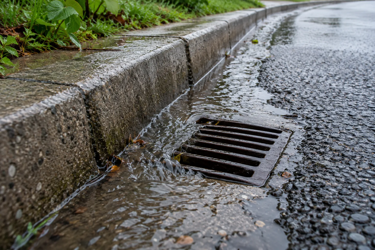
First describe the accumulation's position relative to the lane, kerb, rut, junction and drainage inlets. Distinguish water in a local depression from flow continuing to arrive during rainfall. Checking an explanation requires answers to two questions: where does water come from and where should it go? A nearby grating alone does not establish that the surface directs runoff towards it.
Obtain surface geometry rather than a single gradient
An instrumented survey is tied to a stable elevation reference and a clear point diagram. Carriageway cross-sections and the longitudinal direction of presumed runoff are examined. The survey includes the rut bottom, depression edges, edge strip, channel and drain inlet elevation. A height difference is meaningful together with the distance and direction over which it was measured.
An average gradient over a long section may conceal a short reverse gradient or closed depression. Points are therefore more closely spaced where surface shape changes, and results are shown in profiles. A local defect must be distinguished from a designed geometry change, such as a superelevation transition on a bend. Comparison with the design concerns the relevant location; an arbitrarily selected single gradient for the entire road is not a reliable criterion.
Check drainage continuity through to the outlet
After the surface, the path through channels, shoulders, ditches, pipes and the receiving network is considered. A raised shoulder, deposits at a grating or a discontinuous channel may obstruct runoff before it enters a pipe. These features are recorded with dimensions and position to distinguish an obstruction from a general assumption of poor road maintenance.
A clean grating does not establish serviceability of the entire network either. Available information about pipes, connections and the outlet is checked: downstream backwater may affect inlet performance. The owner and relevant specialists arrange inspection of enclosed elements and chambers. If the downstream part is inaccessible, findings are limited to the section examined; an assertion that the entire system has sufficient capacity needs additional data.
Relate observations to the particular rainfall
Interpreting photographs requires the beginning and end of rainfall, filming time and changes in water boundaries. An image during heavy inflow and one after it stops describe different conditions. Successive observations help determine whether water remains in a depression or drains as network capacity becomes available. Estimating depth from building reflections in a photograph is unreliable.
If drainage adequacy is checked by calculation, the catchment, surface type, rainfall parameters and outlet conditions are established. The catchment may extend beyond the lane repaired. Changes to adjacent land may alter inflow, so the current layout is compared with the design's source data. Without rainfall and receiving-network information, a geometric survey supports discussion of runoff direction but does not establish any claimed design capacity.
Select remedial work according to the established mechanism
The examination must relate a proposed measure to the cause: removing a local depression, restoring a shoulder runoff path, clearing an obstruction and changing network elements need different justification. Installing a new inlet without checking elevations and the downstream outlet may leave the original problem. Equally, cleaning alone will not alter a closed depression's shape in the pavement.
A useful result includes a runoff diagram, profiles, key-point elevations and a distinction between established circumstances and unchecked explanations. Each measure identifies the runoff-path section it restores and the additional data still needed. If the examination took place only in dry weather, that limit is stated explicitly: the survey describes geometry, while actual drainage performance during rain needs separate support.